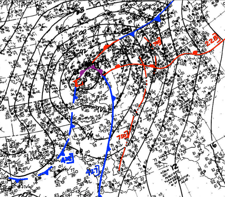
You may be wondering, how is the Super Outbreak this soon on our top-40 list, as it features the only confirmed F-5 in the state’s history and was the 3rd deadliest tornado outbreak in state history. The answer is that our coverage area (from Hancock to Warren/Allen Counties and points west) caught just a glancing blow from that outbreak. Even with just a glancing blow there were still some very significant impacts to our area. The fact that we were one county away from the start of the devastating Brandenburg, KY F-5 tornado is significant in and of itself.

LOCAL IMPACTS
- The major tornado to occur in our area, which caused 3 fatalities and 57 injuries impacted Simpson County and then far eastern Warren County, approaching/paralleling the Warren/Allen County line. This tornado begins in the eastern outskirts of Franklin before striking the small communities of Temperance and Gold City head-on causing 1 fatality and 12 injuries there. Then it moved across eastern Warren County between Alvaton and Allen Springs before impacting western Barren County and weakening. It caused 2 deaths and 45 injuries in eastern Warren County.
- The second major impact was large hail. There were 5 reports of at least golfball-sized hail, with at least 3 featuring at least tennis ball sized hail. The biggest and most destructive was up to 5 inches in diameter which struck Princeton producing extensive damage to cars and homes. 5-inch diameter hail is about the size of CD/DVD’s. Sturgis (Union County) and the Fruit Hill/Apex area of NE Christian County suffered hail damage from up to baseball-sized hail. These storms lasted up to 20 minutes as well. Today hailstorms of this nature would likely cost millions of dollars of damage in all three areas, and perhaps tens of millions in Princeton.
Why Was This Significant
- Damage from a similar tornado in the east Franklin/Gold City area, if it were to occur today (with the rise in population of that area) would likely cause damage into the multi-millions in that area. The hailstorms would likely be million-dollar disasters as well. Of course, anytime storms become deadly, that automatically makes them significant, because human lives cannot be replaced and the grief can last for generations.
- Also, the Super Outbreak in general changed the way we view tornadoes both in the science realm and in society. More research was conducted into tornadoes than ever before in direct response to this event. Radars were updated, the tornado watch/warning process was updated, Dr. Ted Fujita’s work with the tornadoes of this outbreak was instrumental in how we rate tornadoes and their damage. Tornado impacts in Xenia, Ohio; Guin, AL; Louisville, KY; and Brandenburg, KY are still discussed today among meteorologists, weather enthusiasts, and emergency management.
LINKS
^^ NOAA Link about the outbreak in general ^^
